
Wetland Weather Watchers Wanted

By Steve Ackerman and Linda Malkin, FOCM board members

“Citizen science” is a form of scientific engagement that empowers individuals to actively contribute to scientific projects. Citizen science has been employed in a wide range of areas of study, including ones pertinent to Cherokee Marsh, such as ecology, biology, limnology, and meteorology. There are opportunities for you to get involved in weather measurements on your own property, as part of a larger citizen science effort. Read on!
The Friends of Cherokee Marsh (FoCM) has offered or supported numerous activities to engage volunteers in science projects, including documenting bat and moth species, bird counts, inventorying plants and trees, surveying for snakes, and identifying the presence of aquatic invasive species. The data gathered by community members are important for understanding and maintaining the health and dynamics of the marsh ecosystem. The information can also be used to advocate for additional resources and justify efforts to protect and restore natural spaces.
The Cherokee Marsh wetland complex is affected by weather and climate conditions. Changes in temperature and precipitation patterns can stress marsh habitats. Tracking rainfall is essential for understanding water levels and soil moisture, which directly influence marsh health. Changes in precipitation patterns across the watershed can alter water quantity via increased runoff and erosion. Less precipitation can reduce flow and connectivity. National Oceanic Atmospheric Administration (NOAA) is an essential federal organization that provides critical weather measurements. Community members can also contribute important environmental observations through various citizen science programs.
The Community Collaborative Rain, Hail, & Snow Network, abbreviated CoCoRaHS, is a national collaboration of citizens who measure precipitation in their own yards. It takes only a few minutes a day and is a fun way to learn about the natural variability of precipitation. Reported observations give meteorologists consistent and accurate measurements on where and how much precipitation falls throughout our communities.
There are huge differences between the rainiest and the driest places across the globe. But there are also differences in our community for a rain event over a given period of time, as measured via citizen observations. As an example, the map above demonstrates the total rainfall in June 2026 that fell across Dane County as measured by CoCoRaHS volunteers. Measured monthly rainfall across the county varied by about 2 inches, ranging from about 5’’ to 7’’. During winter, CoCoRaHS also encourages snowfall observations.
“By using low-cost measurement tools, emphasizing training and education, and utilizing an interactive website, we aim to provide the highest-quality data for natural resource, education, and research applications. The only requirements to join are an enthusiasm for watching and reporting weather conditions and a desire to learn more about how weather can affect our lives,” states the CoCoRaHS website. Learn about this weather watcher opportunity, find training, and sign up to participate at https://www.cocorahs.org/
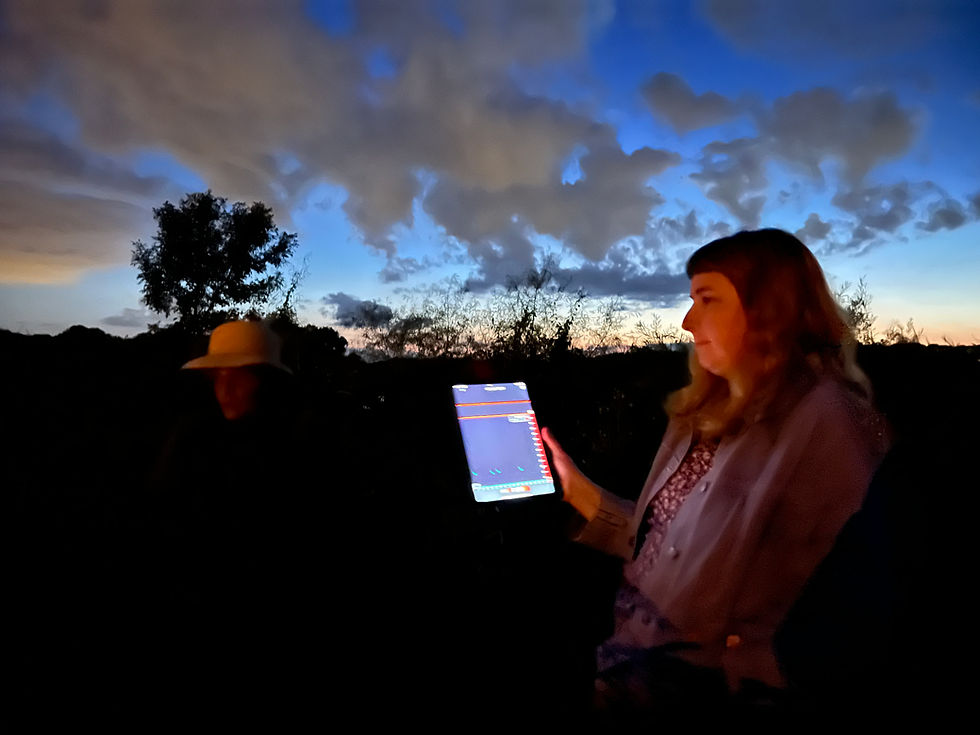
Meteorological Phenomena Identification Near the Ground (mPING) is another community science project that provides important observations on the type of precipitation—rain, hail, sleet or snow—falling in your location. It is a collaboration developed through a partnership between National Severe Storms Lab (part of NOAA) and the Cooperative Institute for Mesoscale Meteorological Studies at the University of Oklahoma. Their easy and free mPING mobile app was developed to use with smart phones or mobile devices.
mPING volunteers report the type of precipitation they are experiencing. Weather radars cannot “see” precipitation at the ground level, so NOAA’s National Weather Service (NWS) uses mPING reports to fine-tune their forecasts. The National Severe Storms Laboratory (NSSL) uses the data to develop new radar and forecasting technologies and methodologies, where the mPING community observations serve as “ground truth.” Learn about this citizen science opportunity, get the app, and register to participate at https://mping.ou.edu/.
Citizen science projects provide participants with an educational experience that combines learning with action. Individual volunteers, students, and community groups gain a firsthand understanding of data collection, analysis, and experimentation. Hands-on involvement cultivates a deeper comprehension of scientific principles, enhances observational skills, and fosters a greater appreciation of the local environment.


Comments